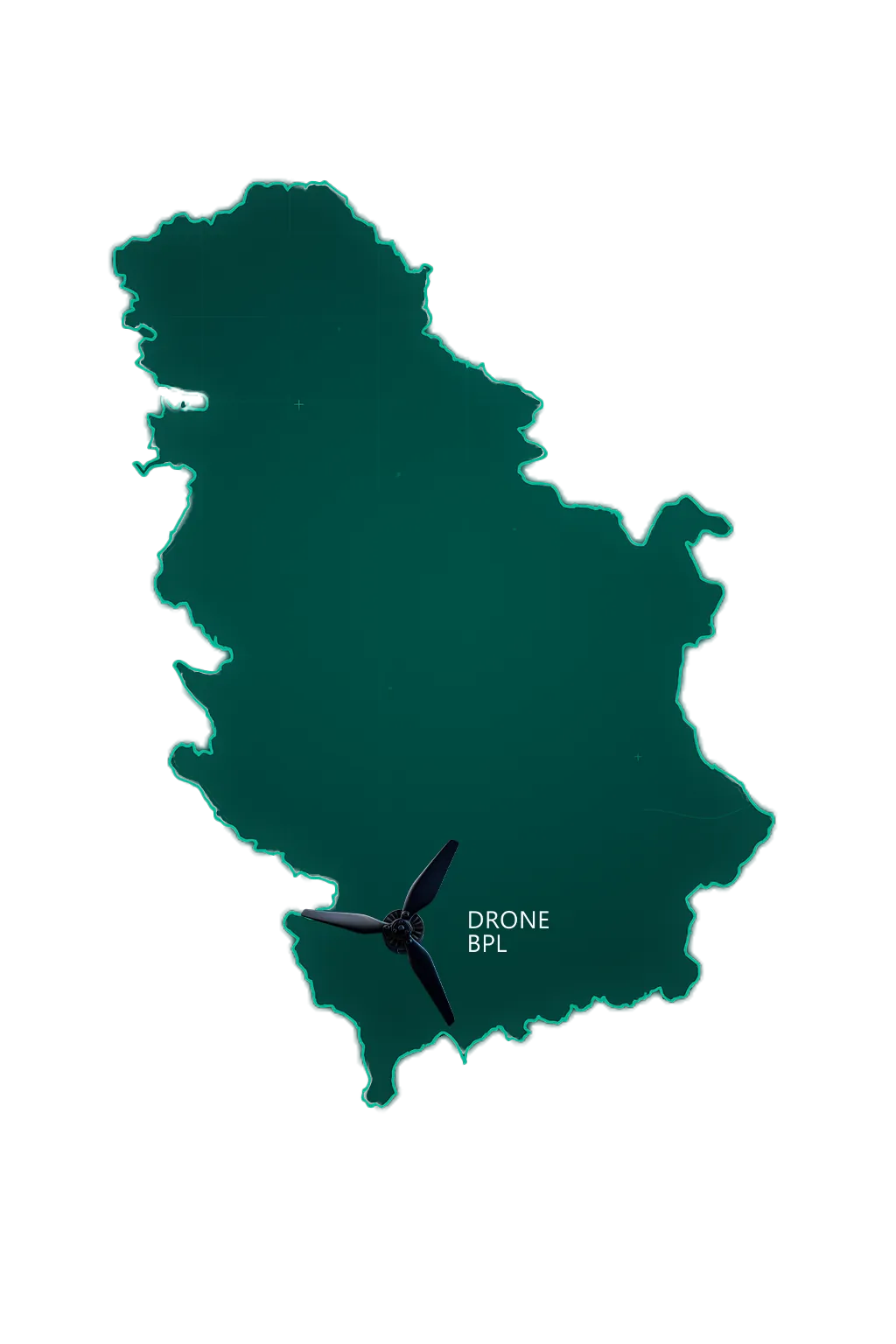
Professional Drone ServicesProfessional Drone Services
Precision Photogrammetry & Aerial Mapping
Transforming aerial imagery into precise 3D maps, models, and actionable geospatial intelligence
Sub-centimeter Accuracy
3D Point Cloud Processing
24-Hour Turnaround
10+ Years Experience
Drone Piloting & Photogrammetry
Pix4D & Agisoft Certified
Industry-Leading Tools
RTK/PPK Equipped
Survey-Grade Accuracy
DJI Enterprise Fleet
Professional Equipment
AI-Optimized Processing
Automated Workflows & ML
Our Services
Comprehensive drone solutions powered by AI-optimized workflows, tailored to your industry needs
Photogrammetry & 3D Modeling
High-precision 3D models and point clouds for construction, surveying, and heritage preservation.
Learn MoreAerial Inspections
Safe, efficient visual inspections of infrastructure, buildings, and industrial facilities.
Learn MoreAerial Cinematography
Stunning aerial footage for film, television, real estate, and marketing.
Learn MoreSurveying & Mapping
Accurate topographic surveys and GIS-ready maps for planning and analysis.
Learn MoreData-Driven Solutions
What We Can Deliver For You
RGB photogrammetry and optical sensing transformed into actionable intelligence
Construction & Development
3D Models & Progress Tracking
High-precision photogrammetry for construction monitoring, volumetric analysis, and digital twin creation
- Sub-cm accuracy with RTK
- Monthly 3D deliverables
- Volumetric calculations
- Progress comparison reports
Surveying & GIS
DEMs, Contours & Orthomosaics
Survey-grade topographic mapping for engineering, land development, and GIS applications
- Digital Elevation Models
- Contour map generation
- Orthomosaic imagery
- GIS-ready deliverables
Infrastructure & Assets
High-Resolution Visual Inspection
Comprehensive visual documentation of infrastructure, buildings, and facilities using 4K/6K optical imagery
- 4K/6K visual documentation
- Damage assessment reports
- Hard-to-reach areas
- Detailed photo annotations
Agriculture & Environment
Field Mapping & Crop Monitoring
Precision agriculture support with RGB-based vegetation analysis, field mapping, and boundary surveys
- Field boundary mapping
- RGB vegetation indices
- Acreage calculations
- Change detection
Precision Mapping at Every Elevation
Capturing topographic detail layer by layer
Our Capabilities
Why Choose Drone BPL
We combine cutting-edge drone technology with expert photogrammetry to deliver unparalleled aerial intelligence
High-Precision Mapping
Centimeter-level accuracy for demanding applications
AI-Enhanced Photogrammetry
Machine learning-optimized 3D reconstruction
Multiple Deliverables
Point clouds, meshes, DEMs, and orthomosaics
Fast Turnaround
AI-accelerated processing and delivery
Our Vision
Our Mission
To become Serbia's leader in drone photogrammetry and aerial imagery - mapping our nation's infrastructure, construction, agriculture, and cultural heritage with unparalleled precision
Industry Leadership
Become Serbia's go-to provider for precision aerial mapping across construction, infrastructure, and agriculture sectors
Technical Excellence
Deploy AI-assisted photogrammetry with automated processing pipelines, machine learning optimization, and centimeter-level accuracy using cutting-edge 3D reconstruction technology
National Impact
Build the most comprehensive geospatial database of Serbia's industrial and cultural landscape
Join us in mapping Serbia's future - one flight at a time
Social Responsibility
Every Flight Makes a Difference
We believe in using our expertise to give back to the communities we serve
1%
of Every Project
Goes directly to supporting local charities and community initiatives across Serbia
1 Free Project
Every Quarter
Donated to registered charities that need aerial mapping or photogrammetry services
Heritage Preservation
Documenting Serbia's cultural sites, monasteries, and historical landmarks for future generations
Environmental Conservation
Monitoring forests, rivers, and protected areas to support sustainability efforts
Education & STEM
Supporting youth programs and schools with technology resources and mentorship
Disaster Relief
Providing free emergency mapping for flood assessment and earthquake damage analysis
Know a Charity That Needs Aerial Mapping?
If you represent a registered charity or know an organization that could benefit from our drone photogrammetry services, we'd love to hear from you.
Calculate Your Savings
See How Much You Can Save with Drone Technology
Compare the cost of traditional surveying methods vs. professional drone photogrammetry for your project
Get a Free 15-Minute Consultation
Not sure which services you need? Let's discuss your project requirements and find the perfect solution for your needs.
No commitment required • Quick response • Expert advice
Stay Updated
Subscribe to our newsletter for the latest drone industry insights, tips, and project updates.